
Maths: Bearings and Compass Error in Navigation Problems
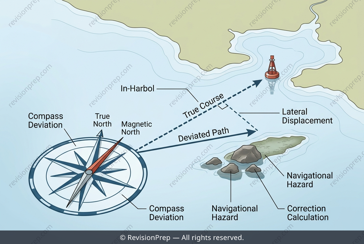
Navigational accuracy is the quiet discipline that turns a plotted course into a safe arrival, and in coastal waters, even a small error can become a real hazard. At its heart, this topic asks you to connect a chart’s scale, a compass’s deviation, and the geometry of displacement—three pieces that together determine whether a vessel stays on its intended line. The scale (here, 1 cm representing 50,000 cm) converts a measured chart distance into a ground distance, while the bearing gives direction. But the compass is not always truthful; a deviation of 2° east means the yacht actually steers 2° to the right of the bearing read, so the true heading becomes 047° instead of 045°. The key relationship is lateral displacement = distance × tan(deviation), which shows how a tiny angular error grows linearly with distance travelled. Over a 4 km passage, that 2° produces roughly 140 m of sideways drift—enough to miss a lighthouse or, worse, strike a submerged rock. Understanding this mechanism matters because it reveals why correction is not optional: in coastal navigation, where hazards may lie within that margin, the difference between a safe pass and a grounding is often measured in metres, not kilometres.
Start practising IB questions today
150,000+ IB-styled questions, criteria-mapped and instantly accessible.