
Maths: The Limits of Precision in Coordinate Grids
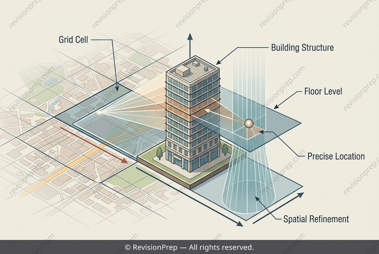
The Cartesian plane is, at its heart, a system for turning “where” into a number—or, as in this case, a letter-and-number pair. When you overlay a grid on a map, you create a shared language of coordinates that allows any two people to pinpoint a location without ambiguity. This is the essence of multi-dimensional spatial referencing: compressing a physical place into a compact, transmissible code. But precision is not just about naming a point; it is about understanding what that code can and cannot capture. A grid reference like C3 gives you a horizontal cell, but it says nothing about elevation or the exact position within that cell’s boundaries. The ambulance scenario reveals the mechanism: while a short alphanumeric code enables rapid, low-error verbal communication under pressure, it also introduces blind spots—missing vertical data and boundary ambiguity. Recognising these gaps is what separates a basic user of coordinates from a critical thinker who knows that every spatial system has limits, and that true precision often requires layering additional information onto the grid.
Start practising IB questions today
150,000+ IB-styled questions, criteria-mapped and instantly accessible.