
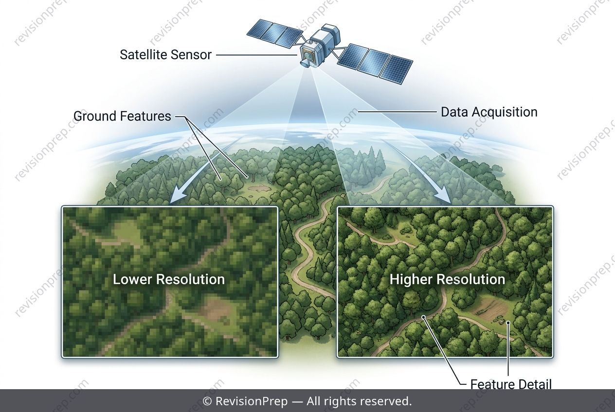
Physics: Why Pixel Size Matters in Remote Sensing
Remote sensing is the art of seeing the Earth without touching it—and for the Amazon rainforest, it is the difference between a blurry guess and a precise map. At its heart lies spatial resolution: the ground area represented by a single pixel in a satellite image. When a satellite orbits at roughly 700 km altitude, its sensors divide the surface into grid cells; a 10–30 metre resolution means each pixel covers a square at least 10 m × 10 m on the ground. This number dictates what the sensor can and cannot detect, and it is the single most important factor separating useful data from noise. Why does this matter? Because the Amazon is both a global carbon sink and a frontline of illegal activity. Satellites with this resolution can spot large clear-cuts in near-real time, helping authorities respond before biodiversity is lost. But the same technology carries an ethical weight: it can track indigenous settlements without consent, raising privacy concerns. The mechanism is simple—smaller pixels reveal finer details, but only down to a limit. Selective logging, where single trees are removed, happens below that limit, becoming invisible to the sensor. Cloud cover adds another layer of uncertainty, creating gaps in monitoring. Thus, resolution is not just a technical spec; it is the lens through which environmental protection, corporate oversight, and human rights are negotiated.
Start practising IB questions today
150,000+ IB-styled questions, criteria-mapped and instantly accessible.